Saxton Map
Biography
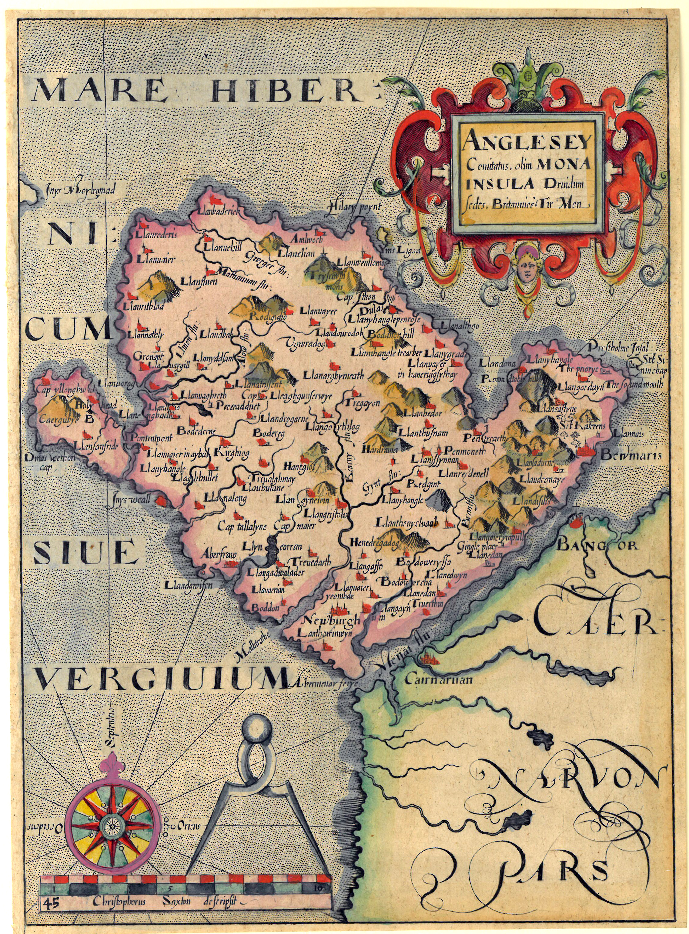
Camden’s Britannia was the first published atlas in 1607 to contain a set of County Maps of England and Wales with each county delineated on a separate sheet. Camden (1551 – 1623) was a contemporary of Christopher Saxton. The maps based on the work of Saxton and Norden were engraved by two famous engravers at the time, William Kip and William Hole and are often referred to as Saxton/ Kip/ Hole.
Private Collection